चित्र:USA Florida location map.svg

Size of this PNG preview of this SVG file: ६१९ × ५९९ पिक्सेल. इतर resolutions: २४८ × २४० पिक्सेल | ४९६ × ४८० पिक्सेल | ७९३ × ७६८ पिक्सेल | १,०५८ × १,०२४ पिक्सेल | २,११५ × २,०४८ पिक्सेल | १,१३२ × १,०९६ पिक्सेल.
मूळ संचिका (SVG संचिका, साधारणपणे १,१३२ × १,०९६ pixels, संचिकेचा आकार: ५७८ कि.बा.)
सारांश
| वर्णन |
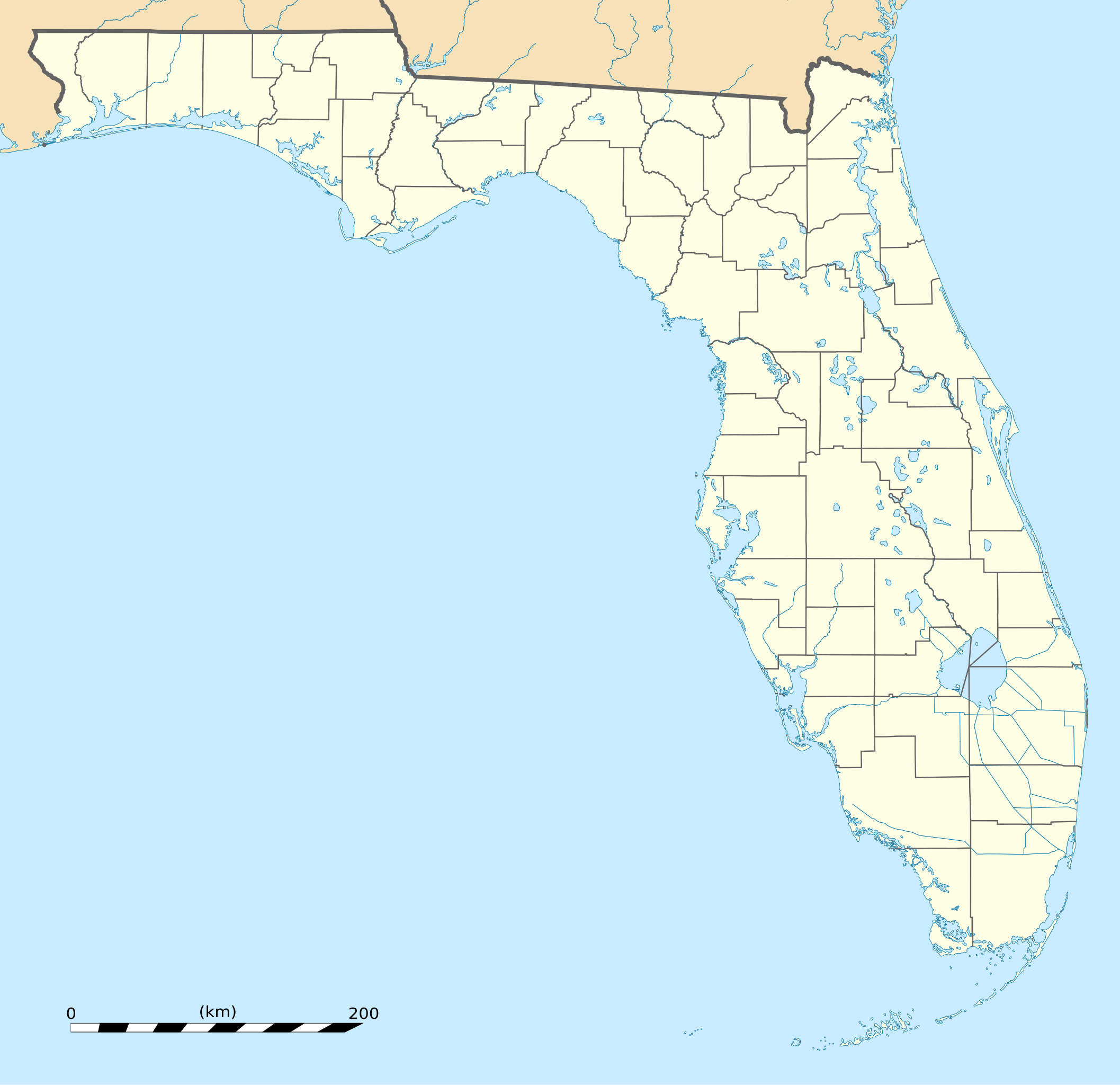
English: Blank administrative map of the State of Florida, USA, for geo-location purpose, with counties boundaries.
Français : Carte administrative vierge de l'état de Floride, États-Unis, destinée à la géolocalisation, avec limite des comtés. Equirectangular projection, WGS84 datum
Scale: 1:2,000,000
|
| दिनांक | |
| स्रोत |
Own work |
| लेखक | Eric Gaba (Sting - fr:Sting) |
| इतर आवृत्तींस |
Derivative works of this file: Derivative works of this file:
|
| SVG genesis |


| Camera location | | View this and other nearby images on: OpenStreetMap |
|---|
परवाना:
| Attribution required |
|---|
| Any use of this map can be made as long as you credit me (Eric Gaba – Wikimedia Commons user: Sting) as the author. A message with a reply address would also be greatly appreciated. |
I, the copyright holder of this work, hereby publish it under the following license:
ही संचिका खालील परवान्याअंतर्गत आहे - क्रीएटिव्ह कॉमन्स Attribution 3.0 Unported.
- तुम्ही मुक्त आहात.
- सामायिक करा – नक्कल, वितरण आणि पारेषित करण्यास
- पुर्नमिश्रीत करण्यास – काम गरजेनुसार अनुकुलीत करण्यास
- खालील अटींच्या अधिन राहून:
- रोपण – आपण योग्य क्रेडिट देणे आवश्यक आहे, परवान्यास दुवा प्रदान करणे आवश्यक आहे, आणि बदल केले गेले आहेत हे दर्शविणे आवश्यक आहे. आपण हे कोणत्याही वाजवी मार्गाने करू शकता, परंतु परवानाधारक आपल्यास किंवा आपल्या वापरास मान्यता देतो अशा कोणत्याही मार्गाने नाही.
संचिकेचा इतिहास
संचिकेची त्यावेळची आवृत्ती बघण्यासाठी त्या दिनांक/वेळेवर टिचकी द्या.
| दिनांक/वेळ | छोटे चित्र | आकार | सदस्य | प्रतिक्रीया | |
|---|---|---|---|---|---|
| सद्य | ०१:५५, १६ डिसेंबर २००८ | | १,१३२ × १,०९६ (५७८ कि.बा.) | Sting | Counties boundaries: thinner strokes |
| ०१:१९, १६ डिसेंबर २००८ |  | १,१३२ × १,०९६ (५७८ कि.बा.) | Sting | == Summary == {{Location|27|45|00|N|83|49|30|W|scale:4000000}} <br/> {{Information |Description={{en|Blank administrative map of the State of Florida, USA, for geo-location purpose, with counties boundaries.}} {{fr|Ca |
दुवे
खालील पाने या संचिकेला जोडली आहेत:
जागतिक संचिका उपयोग
संचिकाचे इतर विकिपीडियावरील वापरः
- af.wikipedia.org वरील उपयोग
- an.wikipedia.org वरील उपयोग
- ar.wikipedia.org वरील उपयोग
- ast.wikipedia.org वरील उपयोग
- azb.wikipedia.org वरील उपयोग
- تالاهاسی
- فورت لادردیل، فلوریدا
- ایقل لیک، فلوریدا
- کی وست، فلوریدا
- وست پام بیچ، فلوریدا
- برادنتون بیچ، فلوریدا
- سانشاین اکریز، فلوریدا
- آیلند والک، فلوریدا
- آسیلا، فلوریدا
- قاردن قروو، فلوریدا
- واکینا، فلوریدا
- اسپرینق ریج، فلوریدا
- رالی، فلوریدا
- وستلیامن، فلوریدا
- لیک میستیک، فلوریدا
- براونزدیل، فلوریدا
- ریورریج، فلوریدا
- قاردنر، فلوریدا
- بریدیل، فلوریدا
- مانسون، فلوریدا
- سن کاستل، فلوریدا
- مانتیورا، فلوریدا
- آوو ماریا، فلوریدا
- اونا، فلوریدا
- تایقر پوینت، فلوریدا
- آریپکا، فلوریدا
- بروستر، فلوریدا
- پوینت بیکر، فلوریدا
- واترقیت، فلوریدا
- میولات، فلوریدا
- میدو اوکس، فلوریدا
- فلوریداتاون، فلوریدا
- کبنا کالنی، فلوریدا
- فورت قرین اسپرینقز، فلوریدا
- مانت کارمل، فلوریدا
- ورونا واک، فلوریدا
- هریتیج پاینز، فلوریدا
- کانرتون، فلوریدا
या संचिकेचे अधिक वैश्विक उपयोग पहा