चित्र:Truaxfield-16may2000.jpg

या झलकेचा आकार: ४८९ × ५९९ पिक्सेल पिक्सेल. इतर resolutions: १९६ × २४० पिक्सेल | ३९२ × ४८० पिक्सेल | ७२२ × ८८५ पिक्सेल.
मूळ संचिका (७२२ × ८८५ पिक्सेल, संचिकेचा आकार: २१८ कि.बा., MIME प्रकार: image/jpeg)
सारांश
| वर्णन |
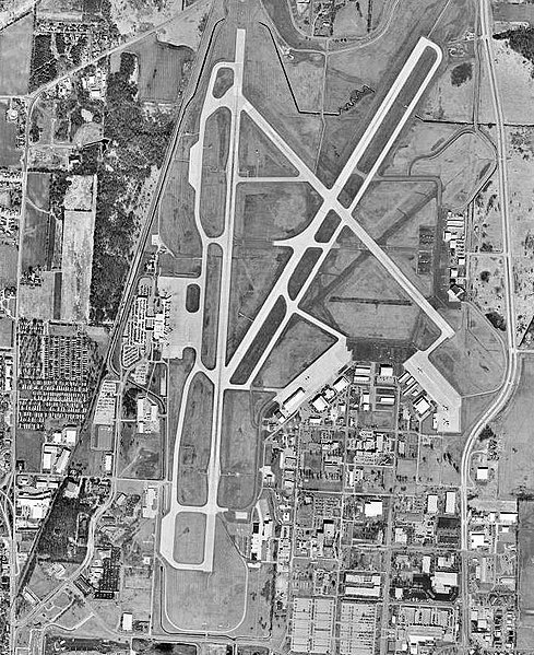
English: USGS orthophoto of Truax Field near Madison, Wisconsin |
| दिनांक | |
| स्रोत | USGS The National Map, via MSR Maps (formerly TerraServer-USA) |
| लेखक | United States Geological Survey (USGS) |
| परवानगी (या संचिकेचा पुनर्वापर करीत आहे) |
Public domain |
परवाना:
This image is in the public domain in the United States because it only contains materials that originally came from the United States Geological Survey, an agency of the United States Department of the Interior. For more information, see the official USGS copyright policy.
|
संचिकेचा इतिहास
संचिकेची त्यावेळची आवृत्ती बघण्यासाठी त्या दिनांक/वेळेवर टिचकी द्या.
| दिनांक/वेळ | छोटे चित्र | आकार | सदस्य | प्रतिक्रीया | |
|---|---|---|---|---|---|
| सद्य | ०६:०४, ११ ऑक्टोबर २००८ | | ७२२ × ८८५ (२१८ कि.बा.) | Bwmoll3 | {{Information |Description={{en|1=Truax Field near Madison Wisconsin, 16 May 2000}} |Source=USGS Orthophoto via Terraserver-USA http://terraserver-usa.com/map.aspx?t=1&s=10&lon=-89.332423905187&lat=43.1362226784&w=800&h=800&opt=0&f=&fs=8&fc=ffffff99&lp=- |
दुवे
खालील पाने या संचिकेला जोडली आहेत:
जागतिक संचिका उपयोग
संचिकाचे इतर विकिपीडियावरील वापरः
- arz.wikipedia.org वरील उपयोग
- de.wikipedia.org वरील उपयोग
- de.wikivoyage.org वरील उपयोग
- en.wikipedia.org वरील उपयोग
- en.wikivoyage.org वरील उपयोग
- fa.wikipedia.org वरील उपयोग
- fr.wikipedia.org वरील उपयोग
- it.wikivoyage.org वरील उपयोग
- pt.wikipedia.org वरील उपयोग
- tg.wikipedia.org वरील उपयोग
- www.wikidata.org वरील उपयोग