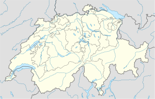
चित्र:Switzerland location map.svg

Size of this PNG preview of this SVG file: ८०० × ५१३ पिक्सेल. इतर resolutions: ३२० × २०५ पिक्सेल | ६४० × ४१० पिक्सेल | १,०२४ × ६५७ पिक्सेल | १,२८० × ८२१ पिक्सेल | २,५६० × १,६४२ पिक्सेल | १,३४९ × ८६५ पिक्सेल.
मूळ संचिका (SVG संचिका, साधारणपणे १,३४९ × ८६५ pixels, संचिकेचा आकार: २५८ कि.बा.)
सारांश
| वर्णन |
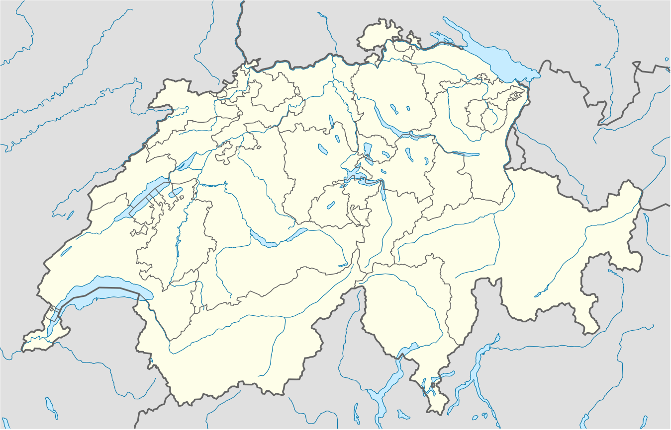
Deutsch: Positionskarte der Schweiz
Quadratische Plattkarte, N-S-Streckung 146,138 %. Geographische Begrenzung der Karte:
English: Location map of Switzerland
Equirectangular projection, N/S stretching 146,138 %. Geographic limits of the map:
|
| दिनांक | |
| स्रोत |
स्वतःचे काम, using
|
| लेखक | NordNordWest |
| इतर आवृत्तींस |
Derivative works of this file: Location of Battle of Winterthur 1799.svg
|
| SVG genesis | This map was created with unknown tool. | style="margin:0.5em;" | This map has been made or improved in the German Kartenwerkstatt (Map Lab). You can propose maps to improve as well.
|} |
_location_map.svg)


परवाना:
I, the copyright holder of this work, hereby publish it under the following license:
ही संचिका खालील परवान्याअंतर्गत आहे - क्रीएटिव्ह कॉमन्स Attribution-Share Alike 3.0 Unported.
- तुम्ही मुक्त आहात.
- सामायिक करा – नक्कल, वितरण आणि पारेषित करण्यास
- पुर्नमिश्रीत करण्यास – काम गरजेनुसार अनुकुलीत करण्यास
- खालील अटींच्या अधिन राहून:
- रोपण – आपण योग्य क्रेडिट देणे आवश्यक आहे, परवान्यास दुवा प्रदान करणे आवश्यक आहे, आणि बदल केले गेले आहेत हे दर्शविणे आवश्यक आहे. आपण हे कोणत्याही वाजवी मार्गाने करू शकता, परंतु परवानाधारक आपल्यास किंवा आपल्या वापरास मान्यता देतो अशा कोणत्याही मार्गाने नाही.
- जसेहोते-वाटातसेच (शेअर अलाईक) – जर तुम्ही या कामात काही बदल केलात, काटछाट केलीत, किंवा भर घातली, तर असे करून बनलेले नवीन काम तुम्ही केवळ या किंवा यासारख्याच परवान्याअंतर्गत प्रसारित करू शकतात.
Gallery
-
 relief
 -
 default
 -
 image1
 -
 image2
 -
 relief1
 -
 relief2
 -
 relief3


संचिकेचा इतिहास
संचिकेची त्यावेळची आवृत्ती बघण्यासाठी त्या दिनांक/वेळेवर टिचकी द्या.
| दिनांक/वेळ | छोटे चित्र | आकार | सदस्य | प्रतिक्रीया | |
|---|---|---|---|---|---|
| सद्य | ०४:२०, १८ डिसेंबर २०१७ | | १,३४९ × ८६५ (२५८ कि.बा.) | Reinhard Kraasch | Verlauf des Doubs korrigiert |
| १५:२१, ४ डिसेंबर २००९ |  | १,३४९ × ८६५ (२६० कि.बा.) | NordNordWest | c | |
| १३:५७, १२ ऑगस्ट २००९ |  | १,३४९ × ८८८ (२५५ कि.बा.) | NordNordWest | no improvement, no changes without discussion about it | |
| १३:३७, १२ ऑगस्ट २००९ |  | १,३४९ × ८८८ (२६० कि.बा.) | Lukasb1992 | borders of cantons | |
| २२:३३, १६ जून २००९ |  | १,३४९ × ८८८ (२५५ कि.बा.) | NordNordWest | {{Information |Description= {{de|Positionskarte der Schweiz}} Quadratische Plattkarte, N-S-Streckung 150 %. Geographische Begrenzung der Karte: * N: 47.9° N * S: 45.75° N * W: 5.8° O * O: 10.7° O {{en|Location map of [[:en:Switzerland| |
दुवे
खालील पाने या संचिकेला जोडली आहेत:
जागतिक संचिका उपयोग
संचिकाचे इतर विकिपीडियावरील वापरः
- af.wikipedia.org वरील उपयोग
- am.wikipedia.org वरील उपयोग
- ar.wikipedia.org वरील उपयोग
- arz.wikipedia.org वरील उपयोग
- av.wikipedia.org वरील उपयोग
- az.wikipedia.org वरील उपयोग
- Cenevrə
- Sankt-Morits
- Şablon:Yer xəritəsi İsveçrə
- Sürix
- Qruyer
- Lozanna
- Sitqlogge
- Müqəddəs Ruh kilsəsi (Bern)
- İsveçrə Federal sarayı
- Bil
- Nyon
- Çuq (kanton)
- Bergün
- Bazel
- La-Şo-de-Fon
- Lütsern
- Fluntern qəbiristanlığı
- Davos
- Qraubünden
- Arqau
- Bua-de-Vo qəbiristanlığı
- Vo (kanton)
- Vil (Sankt-Qallen)
- Sankt-Qallen (kanton)
- Lauterbrunnen
- Vintertur
- Sankt-Qallen
या संचिकेचे अधिक वैश्विक उपयोग पहा