चित्र:Europe map uk.png
या झलकेचा आकार: ७९५ × ६०० पिक्सेल पिक्सेल. इतर resolutions: ३१८ × २४० पिक्सेल | ६३६ × ४८० पिक्सेल | १,०१८ × ७६८ पिक्सेल | १,२३१ × ९२९ पिक्सेल.
मूळ संचिका (१,२३१ × ९२९ पिक्सेल, संचिकेचा आकार: ८५ कि.बा., MIME प्रकार: image/png)
| वर्णन |
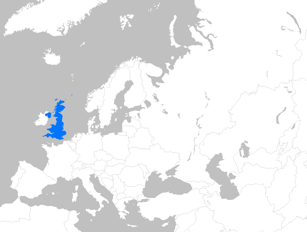
English: Location map of the United Kingdom within Europe |
| दिनांक | एप्रिल १६, इ.स. २००७ (original upload date) |
| स्रोत | CommonsHelper द्वारे सदस्य Magnus Manskeने en.wikipedia पासून कॉमन्सवर हस्तांतरित केले. |
| लेखक | Theeuro at इंग्रजी विकिपीडिया |
परवाना:
| This work has been released into the public domain by its author, Theeuro at इंग्रजी विकिपीडिया. This applies worldwide. असे करणे काही देशांमधे कायद्यानुसार शक्य नसू शकते. असे असल्यास : Theeuro grants anyone the right to use this work for any purpose, without any conditions, unless such conditions are required by law. |
चढवल्याचे मुळ विवरण
The original description page was here. All following user names refer to en.wikipedia.
- 2007-04-16 17:58 Theeuro 1231×929× (42090 bytes) Location map of United Kingdom within europe
- 2007-04-12 19:16 Theeuro 1231×929× (41869 bytes) Location map of the United Kingdom within europe
संचिकेचा इतिहास
संचिकेची त्यावेळची आवृत्ती बघण्यासाठी त्या दिनांक/वेळेवर टिचकी द्या.
| दिनांक/वेळ | छोटे चित्र | आकार | सदस्य | प्रतिक्रीया | |
|---|---|---|---|---|---|
| सद्य | १७:१४, १६ फेब्रुवारी २०११ | | १,२३१ × ९२९ (८५ कि.बा.) | Chipmunkdavis | Removing crown dependencies, as they are not part of the UK |
| २३:५०, २९ मार्च २०१० |  | १,२३१ × ९२९ (४१ कि.बा.) | File Upload Bot (Magnus Manske) | {{BotMoveToCommons|en.wikipedia|year={{subst:CURRENTYEAR}}|month={{subst:CURRENTMONTHNAME}}|day={{subst:CURRENTDAY}}}} {{Information |Description={{en|Location map of the United Kingdom within Europe}} |Source=Transferred from [http://en.wikipedia.org en |
दुवे
खालील पाने या संचिकेला जोडली आहेत:
जागतिक संचिका उपयोग
संचिकाचे इतर विकिपीडियावरील वापरः
- ban.wikipedia.org वरील उपयोग
- bg.wikipedia.org वरील उपयोग
- en.wikipedia.org वरील उपयोग
- et.wikipedia.org वरील उपयोग
- gu.wikipedia.org वरील उपयोग
- id.wikipedia.org वरील उपयोग
- my.wikipedia.org वरील उपयोग
- pa.wikipedia.org वरील उपयोग
- pnb.wikipedia.org वरील उपयोग
- ur.wikipedia.org वरील उपयोग
- yo.wikipedia.org वरील उपयोग