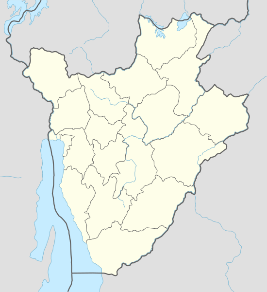
चित्र:Burundi adm location map.svg

मूळ संचिका (SVG संचिका, साधारणपणे ६२४ × ६८० pixels, संचिकेचा आकार: ९३ कि.बा.)
सारांश
| वर्णन |
Deutsch: Positionskarte von Burundi
English: Location map of Burundi
Français : Carte de géolocalisation du Burundi
|
||||||||||||
| दिनांक | |||||||||||||
| स्रोत |
Own work using:
|
||||||||||||
| लेखक | NordNordWest | ||||||||||||
| इतर आवृत्तींस |
|
||||||||||||
_location_map.svg)


|
This map has been made or improved in the German Kartenwerkstatt (Map Lab). You can propose maps to improve as well.
|
परवाना:
Usage of this file with:

explanatory notes: Legally binding is only the full legalcode. For a free usage I recommend to respect the following licence conditions:
1. Provide my name as given above: NordNordWest,
2. a copy of, or the URI for, the applicable license: https://creativecommons.org/licenses/by-sa/3.0/de/legalcode,
3. the title of the work,
4. in the case of an adaptation, a credit identifying the use of the work in the adaptation.
This license and the rights granted hereunder will terminate automatically upon any breach by you of the terms of this license. Any of the above conditions can be waived if you get permission from the copyright holder. If you have questions or wish differing conditions, please contact me through nnwest or my discussion page ![]() t-online.de
t-online.de
- तुम्ही मुक्त आहात.
- सामायिक करा – नक्कल, वितरण आणि पारेषित करण्यास
- पुर्नमिश्रीत करण्यास – काम गरजेनुसार अनुकुलीत करण्यास
- खालील अटींच्या अधिन राहून:
- रोपण – आपण योग्य क्रेडिट देणे आवश्यक आहे, परवान्यास दुवा प्रदान करणे आवश्यक आहे, आणि बदल केले गेले आहेत हे दर्शविणे आवश्यक आहे. आपण हे कोणत्याही वाजवी मार्गाने करू शकता, परंतु परवानाधारक आपल्यास किंवा आपल्या वापरास मान्यता देतो अशा कोणत्याही मार्गाने नाही.
- जसेहोते-वाटातसेच (शेअर अलाईक) – जर तुम्ही या कामात काही बदल केलात, काटछाट केलीत, किंवा भर घातली, तर असे करून बनलेले नवीन काम तुम्ही केवळ या किंवा यासारख्याच परवान्याअंतर्गत प्रसारित करू शकतात.

संचिकेचा इतिहास
संचिकेची त्यावेळची आवृत्ती बघण्यासाठी त्या दिनांक/वेळेवर टिचकी द्या.
| दिनांक/वेळ | छोटे चित्र | आकार | सदस्य | प्रतिक्रीया | |
|---|---|---|---|---|---|
| सद्य | २२:५६, १५ सप्टेंबर २०१५ | | ६२४ × ६८० (९३ कि.बा.) | NordNordWest | upd |
| २०:५५, १ डिसेंबर २०१४ |  | ६२४ × ६८० (९१ कि.बा.) | NordNordWest | == {{int:filedesc}} == {{Information |Description= {{de|1=Positionskarte von Burundi}} {{en|1=Location map of Burundi}} {{Location map series N |stretching=100 |top=-2.2 |bottom=-4.6 |left=28.8 |right=31.0 }} |Source={{Own using}} * United States Natio... |
दुवे
खालील पाने या संचिकेला जोडली आहेत:
जागतिक संचिका उपयोग
संचिकाचे इतर विकिपीडियावरील वापरः
- af.wikipedia.org वरील उपयोग
- an.wikipedia.org वरील उपयोग
- ast.wikipedia.org वरील उपयोग
- azb.wikipedia.org वरील उपयोग
- bn.wikipedia.org वरील उपयोग
- ceb.wikipedia.org वरील उपयोग
या संचिकेचे अधिक वैश्विक उपयोग पहा