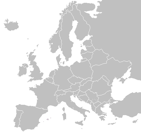
चित्र:BlankMap-Europe.png
BlankMap-Europe.png (४५० × ४२२ पिक्सेल, संचिकेचा आकार: १५ कि.बा., MIME प्रकार: image/png)
संचिकेचा इतिहास
संचिकेची त्यावेळची आवृत्ती बघण्यासाठी त्या दिनांक/वेळेवर टिचकी द्या.
| दिनांक/वेळ | छोटे चित्र | आकार | सदस्य | प्रतिक्रीया | |
|---|---|---|---|---|---|
| सद्य | ०३:३२, २४ सप्टेंबर २०१५ |  | ४५० × ४२२ (१५ कि.बा.) | OgreBot | (BOT): Reverting to most recent version before archival |
| ०३:३२, २४ सप्टेंबर २०१५ |  | ४५० × ४२२ (१० कि.बा.) | OgreBot | (BOT): Uploading old version of file from en.wikipedia; originally uploaded on 2006-01-04 08:52:21 by E Pluribus Anthony | |
| ०३:३२, २४ सप्टेंबर २०१५ |  | ४५० × ४२२ (१० कि.बा.) | OgreBot | (BOT): Uploading old version of file from en.wikipedia; originally uploaded on 2005-09-22 18:14:10 by E Pluribus Anthony | |
| ०३:३२, २४ सप्टेंबर २०१५ |  | ४५० × ४२२ (१० कि.बा.) | OgreBot | (BOT): Uploading old version of file from en.wikipedia; originally uploaded on 2005-09-19 09:15:43 by E Pluribus Anthony | |
| ०३:३२, २४ सप्टेंबर २०१५ |  | ४५० × ४२२ (७ कि.बा.) | OgreBot | (BOT): Uploading old version of file from en.wikipedia; originally uploaded on 2005-09-19 06:45:22 by E Pluribus Anthony | |
| ०३:३२, २४ सप्टेंबर २०१५ |  | ४१५ × ४२२ (५ कि.बा.) | OgreBot | (BOT): Uploading old version of file from en.wikipedia; originally uploaded on 2005-01-22 16:48:46 by Richie | |
| ०३:३१, २४ सप्टेंबर २०१५ |  | ४१५ × ४२२ (९ कि.बा.) | OgreBot | (BOT): Uploading old version of file from en.wikipedia; originally uploaded on 2003-11-16 08:04:27 by Vardion | |
| ०३:३१, २४ सप्टेंबर २०१५ |  | ४१५ × ४३० (९ कि.बा.) | OgreBot | (BOT): Uploading old version of file from en.wikipedia; originally uploaded on 2003-11-16 07:16:14 by Vardion | |
| ००:५७, २२ जुलै २००९ |  | ४५० × ४२२ (१५ कि.बा.) | Hoshie | fixed Montenegro | |
| १३:५०, १८ जुलै २००९ |  | ४५० × ४२२ (१५ कि.बा.) | Hoshie | redid Kosovo/Montenegro borders based on an older version of File:Continental-Europe-map.png; anti-aliasing has been removed. |
दुवे
या चित्राशी जोडलेली पृष्ठे नाहीत.
जागतिक संचिका उपयोग
संचिकाचे इतर विकिपीडियावरील वापरः
- ar.wikipedia.org वरील उपयोग
- de.wikipedia.org वरील उपयोग
- en.wikipedia.org वरील उपयोग
- Wikipedia:Graphics Lab/Images to improve/Archive/Dec 2006
- File:Telempe travel plans - Europe.png
- User:Jaksmata/Temple sandbox
- User:Jaksmata/Temple articles2
- Wikipedia talk:WikiProject Countries/Archive 8
- User:Jaksmata/LDS Temple Navbox
- User:Ellsass/Euromap
- User:Trödel/Temples
- Wikipedia:Graphics Lab/Map workshop/Archive/Jan 2013
- fi.wikipedia.org वरील उपयोग
- hak.wikipedia.org वरील उपयोग
- incubator.wikimedia.org वरील उपयोग
- krc.wikipedia.org वरील उपयोग
- ky.wikipedia.org वरील उपयोग
- mk.wikipedia.org वरील उपयोग
- nn.wikipedia.org वरील उपयोग
- su.wikipedia.org वरील उपयोग
- sw.wikipedia.org वरील उपयोग
- uk.wikipedia.org वरील उपयोग
- vi.wikipedia.org वरील उपयोग


