चित्र:African continent-en.svg

Size of this PNG preview of this SVG file: ६३५ × ६०० पिक्सेल. इतर resolutions: २५४ × २४० पिक्सेल | ५०८ × ४८० पिक्सेल | ८१३ × ७६८ पिक्सेल | १,०८४ × १,०२४ पिक्सेल | २,१६९ × २,०४८ पिक्सेल | १,५२५ × १,४४० पिक्सेल.
मूळ संचिका (SVG संचिका, साधारणपणे १,५२५ × १,४४० pixels, संचिकेचा आकार: ७५२ कि.बा.)
| वर्णन |
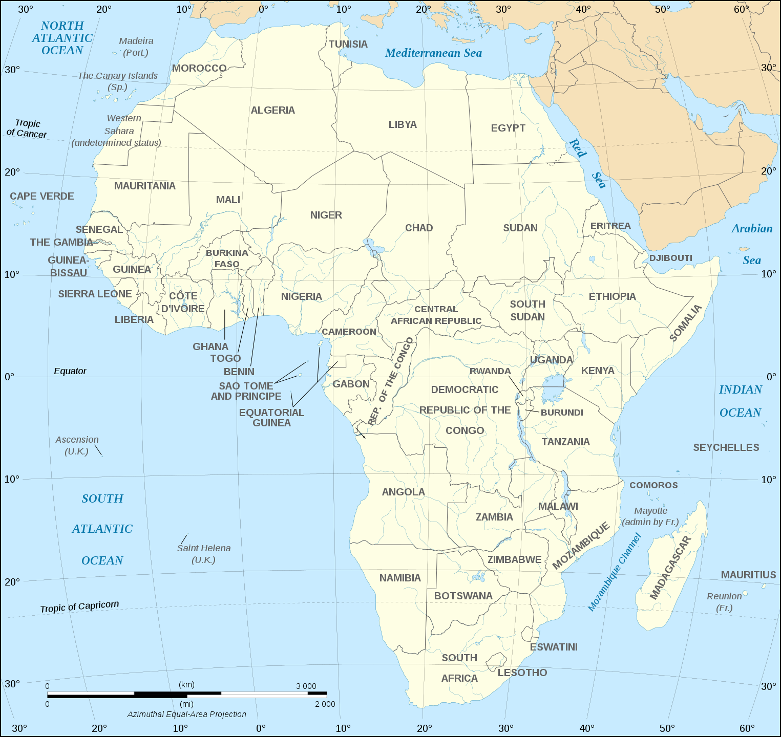
English: Map of the African continent as in 2011-07.
Français : Carte en anglais du continent africain tel qu'en 07/2011.
Lambert azimutal equal-area projection, WGS84 datum, standard meridian: 15°E, standard parallel: 0°Scale: 1:15,000,000 (accuracy: 3,75 km) |
||
| दिनांक | (UTC), updated 2011-07 | ||
| स्रोत | |||
| लेखक |
|
||
| इतर आवृत्तींस |
Derivative works of this file:
[]
Map close to Africa map political-fr.svg, but with some changes on the islands administrated by European countries and the Sinai peninsula |
||
| SVG genesis |
|


I, the copyright holder of this work, hereby publish it under the following license:
ही संचिका खालील परवान्यांअंतर्गत आहे - क्रीएटिव्ह कॉमन्स Attribution-Share Alike 2.5 Generic, 2.0 Generic आणि 1.0 Generic.
- तुम्ही मुक्त आहात.
- सामायिक करा – नक्कल, वितरण आणि पारेषित करण्यास
- पुर्नमिश्रीत करण्यास – काम गरजेनुसार अनुकुलीत करण्यास
- खालील अटींच्या अधिन राहून:
- रोपण – आपण योग्य क्रेडिट देणे आवश्यक आहे, परवान्यास दुवा प्रदान करणे आवश्यक आहे, आणि बदल केले गेले आहेत हे दर्शविणे आवश्यक आहे. आपण हे कोणत्याही वाजवी मार्गाने करू शकता, परंतु परवानाधारक आपल्यास किंवा आपल्या वापरास मान्यता देतो अशा कोणत्याही मार्गाने नाही.
- जसेहोते-वाटातसेच (शेअर अलाईक) – जर तुम्ही या कामात काही बदल केलात, काटछाट केलीत, किंवा भर घातली, तर असे करून बनलेले नवीन काम तुम्ही केवळ या किंवा यासारख्याच परवान्याअंतर्गत प्रसारित करू शकतात.
चढवल्याचे मुळ विवरण
This image is a derivative work of the following images:
- Image:Africa_map_blank.svg licensed with Cc-by-sa-2.5,2.0,1.0, Cc-by-sa-2.5,2.0,1.0/en
- 2008-06-27T03:34:58Z Sting 1525x1440 (711453 Bytes) Completely new drawing with known projection
- 2006-05-31T15:28:42Z Sting 1390x1295 (571519 Bytes) Enhanced version : African and Asian continents separated
- 2006-05-31T03:53:32Z Sting 1390x1295 (566642 Bytes) {{Information |Description=Blank vector graphic map of [[:Category:Maps of Africa|Africa]] |Source=Several bitmap-type maps |Date= May 2006 |Author= Eric Gaba ({{U|Sting}}) |Permission=GFDL or CC-BY-SA |other_version
Uploaded with derivativeFX
संचिकेचा इतिहास
संचिकेची त्यावेळची आवृत्ती बघण्यासाठी त्या दिनांक/वेळेवर टिचकी द्या.
| दिनांक/वेळ | छोटे चित्र | आकार | सदस्य | प्रतिक्रीया | |
|---|---|---|---|---|---|
| सद्य | २३:५१, ६ डिसेंबर २०२० | | १,५२५ × १,४४० (७५२ कि.बा.) | Sting | Swatziland => eSwatini |
| ०१:२९, १५ जुलै २०११ |  | १,५२५ × १,४४० (७५२ कि.बा.) | Sting | Sudan/South Sudan 2011-07 border update | |
| २२:१२, १६ डिसेंबर २०१० |  | १,५२५ × १,४४० (७४७ कि.बा.) | Sting | Spelling correction: Madeira | |
| ०१:४६, ११ जानेवारी २००९ |  | १,५२५ × १,४४० (७४७ कि.बा.) | Sting | Correction Sao Tome | |
| १४:०७, ६ डिसेंबर २००८ |  | १,५२५ × १,४४० (७५० कि.बा.) | Bobarino | {{Information |Description={{en|Map of the African continent.}} {{fr|Carte vierge du continent africain.}} Lambert azimutal equal-area projection, WGS84 datum, standard meridian: 15°E, standard pa |
दुवे
या चित्राशी जोडलेली पृष्ठे नाहीत.
जागतिक संचिका उपयोग
संचिकाचे इतर विकिपीडियावरील वापरः
- af.wikipedia.org वरील उपयोग
- ar.wikipedia.org वरील उपयोग
- azb.wikipedia.org वरील उपयोग
- az.wiktionary.org वरील उपयोग
- de.wikipedia.org वरील उपयोग
- en.wikipedia.org वरील उपयोग
- fa.wikipedia.org वरील उपयोग
- hi.wikipedia.org वरील उपयोग
- hu.wikibooks.org वरील उपयोग
- id.wikipedia.org वरील उपयोग
- ig.wikipedia.org वरील उपयोग
- ilo.wikipedia.org वरील उपयोग
- ja.wikipedia.org वरील उपयोग
- ko.wikipedia.org वरील उपयोग
- www.mediawiki.org वरील उपयोग
- ml.wikipedia.org वरील उपयोग
- mn.wikipedia.org वरील उपयोग
- nl.wikipedia.org वरील उपयोग
- sd.wikipedia.org वरील उपयोग
- simple.wikipedia.org वरील उपयोग
- sw.wikipedia.org वरील उपयोग
- te.wikipedia.org वरील उपयोग
- th.wikipedia.org वरील उपयोग
- tr.wikipedia.org वरील उपयोग
- uz.wikipedia.org वरील उपयोग
- yo.wikipedia.org वरील उपयोग