चित्र:Timor.png
या झलकेचा आकार: ५९२ × ५९९ पिक्सेल पिक्सेल. इतर resolutions: २३७ × २४० पिक्सेल | ४७४ × ४८० पिक्सेल | ९९४ × १,००६ पिक्सेल.
मूळ संचिका (९९४ × १,००६ पिक्सेल, संचिकेचा आकार: २०८ कि.बा., MIME प्रकार: image/png)
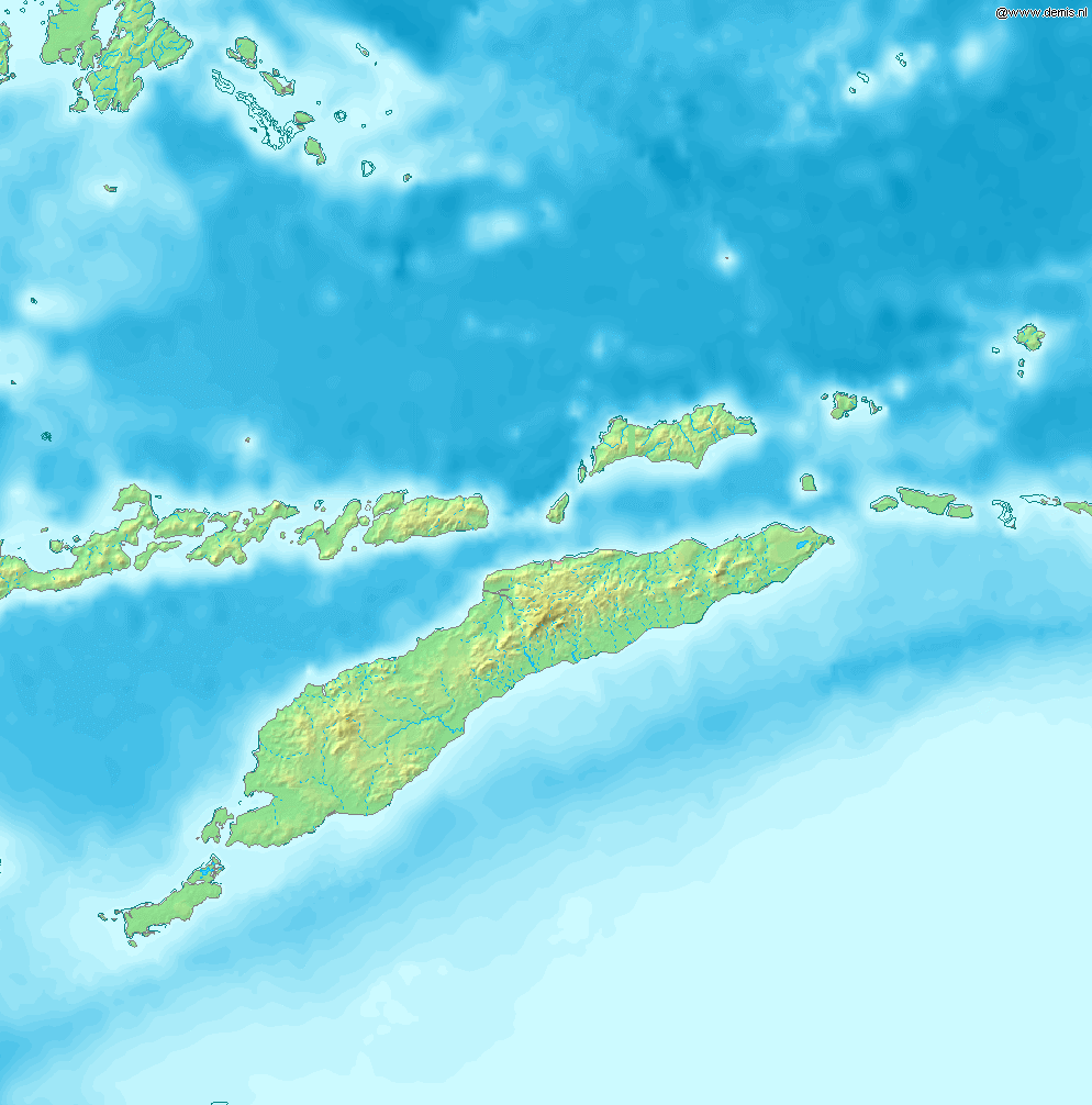
Map of Timor
Bounding box West 122°, South -12°, East 129°, North -5°. Center at 8°30′00″S 125°30′00″E / 8.50000°S 125.50000°E.
This image is in the public domain because it came from the site https://www.demis.nl/products/web-map-server/examples/ and was released by the copyright holder. Permission is granted to copy, distribute and/or modify this map since it is based on free of copyright images from: www.demis.nl. See also approval email on de.wp and its clarification.
|
| This work has been released into the public domain by its copyright holder, www.demis.nl. This applies worldwide. असे करणे काही देशांमधे कायद्यानुसार शक्य नसू शकते. असे असल्यास : www.demis.nl grants anyone the right to use this work for any purpose, without any conditions, unless such conditions are required by law.
|
संचिकेचा इतिहास
संचिकेची त्यावेळची आवृत्ती बघण्यासाठी त्या दिनांक/वेळेवर टिचकी द्या.
| दिनांक/वेळ | छोटे चित्र | आकार | सदस्य | प्रतिक्रीया | |
|---|---|---|---|---|---|
| सद्य | १५:२३, १२ डिसेंबर २००६ | | ९९४ × १,००६ (२०८ कि.बा.) | Mats Halldin~commonswiki | Map of Timor Bounding box West 122°, South -12°, East 129°, North -5°. Center at {{coor d|8.50000|S|125.50000|E|scale:4200000}}. {{demis-pd}} category:maps of East Timor |
दुवे
या चित्राशी जोडलेली पृष्ठे नाहीत.
जागतिक संचिका उपयोग
संचिकाचे इतर विकिपीडियावरील वापरः
- ban.wikipedia.org वरील उपयोग
- bn.wikipedia.org वरील उपयोग
- cs.wikipedia.org वरील उपयोग
- cy.wikipedia.org वरील उपयोग
- de.wikipedia.org वरील उपयोग
- de.wikivoyage.org वरील उपयोग
- en.wikipedia.org वरील उपयोग
- Kupang
- Presidente Nicolau Lobato International Airport
- Atambua
- El Tari Airport
- Belu Regency
- Baucau Airport
- Oecusse Airport
- Noel Besi River
- Module:Location map/data/Timor/doc
- Halilulik
- Kefamenanu
- Kupang Regency
- South Central Timor Regency
- North Central Timor Regency
- Mina River (Indonesia)
- Pono River
- Soe, Timor
- Suai Airport
- Malaka Regency
- List of rivers of West Timor
- Module:Location map/data/Timor
- User:Ty654/List of earthquakes from 1975-1979 exceeding magnitude 6+
- User:Ty654/List of earthquakes from 1995-1999 exceeding magnitude 6+
- Atapupu
- Betun, Indonesia
- Raifatus, East Nusa Tenggara
- Batek Island
- eo.wikipedia.org वरील उपयोग
- es.wikipedia.org वरील उपयोग
- fa.wikipedia.org वरील उपयोग
- fr.wikipedia.org वरील उपयोग
- ha.wikipedia.org वरील उपयोग
- ka.wikipedia.org वरील उपयोग
- la.wikipedia.org वरील उपयोग
- nl.wikipedia.org वरील उपयोग
- no.wikipedia.org वरील उपयोग
- pl.wikipedia.org वरील उपयोग
- pt.wikipedia.org वरील उपयोग
या संचिकेचे अधिक वैश्विक उपयोग पहा