चित्र:Isle of Wight UK locator map 2010.svg

Size of this PNG preview of this SVG file: ४९४ × ६०० पिक्सेल. इतर resolutions: १९८ × २४० पिक्सेल | ३९५ × ४८० पिक्सेल | ६३३ × ७६८ पिक्सेल | ८४३ × १,०२४ पिक्सेल | १,६८७ × २,०४८ पिक्सेल | १,१०८ × १,३४५ पिक्सेल.
मूळ संचिका (SVG संचिका, साधारणपणे १,१०८ × १,३४५ pixels, संचिकेचा आकार: ३०२ कि.बा.)
सारांश
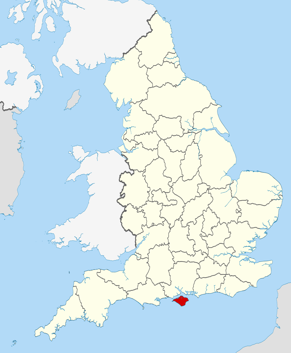
| वर्णन | Location of the ceremonial county of the Isle of Wight within England. |
| दिनांक | |
| स्रोत |
National Geospatial-Intelligence Agency
|
| लेखक | Nilfanion |
परवाना:
मी, या कामाचा/कामाची परवानाधारक, खालील परवान्यांअंतर्गत हे काम येथे प्रकाशित करत आहे :
ही संचिका खालील परवान्याअंतर्गत आहे - क्रीएटिव्ह कॉमन्स Attribution-Share Alike 3.0 Unported.
- तुम्ही मुक्त आहात.
- सामायिक करा – नक्कल, वितरण आणि पारेषित करण्यास
- पुर्नमिश्रीत करण्यास – काम गरजेनुसार अनुकुलीत करण्यास
- खालील अटींच्या अधिन राहून:
- रोपण – आपण योग्य क्रेडिट देणे आवश्यक आहे, परवान्यास दुवा प्रदान करणे आवश्यक आहे, आणि बदल केले गेले आहेत हे दर्शविणे आवश्यक आहे. आपण हे कोणत्याही वाजवी मार्गाने करू शकता, परंतु परवानाधारक आपल्यास किंवा आपल्या वापरास मान्यता देतो अशा कोणत्याही मार्गाने नाही.
- जसेहोते-वाटातसेच (शेअर अलाईक) – जर तुम्ही या कामात काही बदल केलात, काटछाट केलीत, किंवा भर घातली, तर असे करून बनलेले नवीन काम तुम्ही केवळ या किंवा यासारख्याच परवान्याअंतर्गत प्रसारित करू शकतात.

|
फ्री सॉफ्टवेअर फाऊंडेशन द्वारे प्रकाशित जीएनयू मुक्त दस्ताऐवजीकरण परवाना, आवृत्ती १.२ किंवा त्यानंतरची,या अंतर्गत; या दस्तावेजास, नकलविण्याची, वितरणाची व/किंवा फेरबदलाची परवानगी दिल्या जाते या अटींसह कि त्यात कोणतेही निश्चलित(Invariant) विभाग नकोत,पृष्टपान मजकूर नको व मलपान मजकूर नको. GNU Free Documentation License हा मथळा असलेल्या विभागात,या परवान्याची प्रत अंतर्भूत केलेली आहे. |
तुमच्या पसंतीचा परवाना तुम्ही निवडू शकता.

|
This is one of the images forming part of the Valued image set: Locator maps of the Ceremonial counties of England on Wikimedia Commons. The image set has been assessed under the valued image set criteria and is considered the most valued set on Commons within the scope:
Locator maps of the Ceremonial counties of England
You can see its nomination at Commons:Valued image candidates/Locator maps of English ceremonial counties. |
संचिकेचा इतिहास
संचिकेची त्यावेळची आवृत्ती बघण्यासाठी त्या दिनांक/वेळेवर टिचकी द्या.
| दिनांक/वेळ | छोटे चित्र | आकार | सदस्य | प्रतिक्रीया | |
|---|---|---|---|---|---|
| सद्य | ०४:०८, २४ नोव्हेंबर २०१० | | १,१०८ × १,३४५ (३०२ कि.बा.) | Nilfanion | == Summary == {{Information |Description=Location of the ceremonial county of the Isle of Wight within England. |Source=Ordnance Survey [https://www.ordnancesurvey.co.uk/opendatadownload/products.html OpenData]: * |
दुवे
खालील पाने या संचिकेला जोडली आहेत:
जागतिक संचिका उपयोग
संचिकाचे इतर विकिपीडियावरील वापरः
- af.wikipedia.org वरील उपयोग
- ang.wikipedia.org वरील उपयोग
- ar.wikipedia.org वरील उपयोग
- ast.wikipedia.org वरील उपयोग
- az.wikipedia.org वरील उपयोग
- be-tarask.wikipedia.org वरील उपयोग
- bg.wikipedia.org वरील उपयोग
- bn.wikipedia.org वरील उपयोग
- br.wikipedia.org वरील उपयोग
- ca.wikipedia.org वरील उपयोग
- ceb.wikipedia.org वरील उपयोग
- cs.wikipedia.org वरील उपयोग
- de.wikipedia.org वरील उपयोग
- el.wikipedia.org वरील उपयोग
- en.wikipedia.org वरील उपयोग
- Isle of Wight
- River Medina
- Isle of Wight National Landscape
- Medina, Isle of Wight
- South Wight
- Alverstone Mead
- Borthwood Copse
- Fishbourne, Isle of Wight
- Wootton Creek
- Wroxall, Isle of Wight
- Western Yar
- Eastern Yar
- Parkhurst Forest
- Totland
- Cranmore, Isle of Wight
- Hamstead, Isle of Wight
- Easton, Isle of Wight
- Brook, Isle of Wight
- Wellow, Isle of Wight
- Thorley Street
- Blackwater, Isle of Wight
- Kingston, Isle of Wight
- Gatcombe
- Shorwell
- Newchurch, Isle of Wight
- Adgestone
- Rew Street
- Porchfield
- Whippingham
- Rookley
- Yafford
- Bowcombe
- Newtown Bay
या संचिकेचे अधिक वैश्विक उपयोग पहा