चित्र:Canada Manitoba location map 2.svg

Size of this PNG preview of this SVG file: ४८६ × ५९९ पिक्सेल. इतर resolutions: १९५ × २४० पिक्सेल | ३८९ × ४८० पिक्सेल | ६२३ × ७६८ पिक्सेल | ८३१ × १,०२४ पिक्सेल | १,६६१ × २,०४८ पिक्सेल | १,५१२ × १,८६४ पिक्सेल.
मूळ संचिका (SVG संचिका, साधारणपणे १,५१२ × १,८६४ pixels, संचिकेचा आकार: ५९९ कि.बा.)
सारांश
| वर्णन |
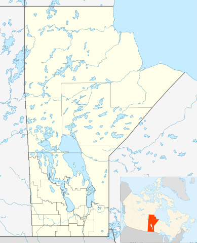
Quadratische Plattkarte, N-S-Streckung 170 %. Geographische Begrenzung der Karte:
Equirectangular projection, N/S stretching 170 %. Geographic limits of the map:
|
| दिनांक | |
| स्रोत | स्वतःचे काम, File:Canada_Manitoba_location_map.svg by NordNordWest |
| लेखक | Hanhil 17:29, 24 September 2009 (UTC) |
| परवानगी (या संचिकेचा पुनर्वापर करीत आहे) |
I, the copyright holder of this work, hereby publish it under the following license: ही संचिका खालील परवान्याअंतर्गत आहे - क्रीएटिव्ह कॉमन्स Attribution-Share Alike 3.0 Unported.
|
| SVG genesis |
संचिकेचा इतिहास
संचिकेची त्यावेळची आवृत्ती बघण्यासाठी त्या दिनांक/वेळेवर टिचकी द्या.
| दिनांक/वेळ | छोटे चित्र | आकार | सदस्य | प्रतिक्रीया | |
|---|---|---|---|---|---|
| सद्य | १३:०१, ३ फेब्रुवारी २०१९ | | १,५१२ × १,८६४ (५९९ कि.बा.) | JoKalliauer | valid id-names |
| २२:५९, २४ सप्टेंबर २००९ |  | १,५१२ × १,८६४ (९०६ कि.बा.) | Hanhil | {{Information |Description= {{de|Positionskarte von Manitoba, Kanada}} Quadratische Plattkarte, N-S-Streckung 170 %. Geographische Begrenzung der Karte: * N: 60.3° N * S: 48.7° N * W: 104.0° W * O: 88.0° W {{en|Location |
दुवे
खालील पाने या संचिकेला जोडली आहेत:
जागतिक संचिका उपयोग
संचिकाचे इतर विकिपीडियावरील वापरः
- ar.wikipedia.org वरील उपयोग
- azb.wikipedia.org वरील उपयोग
- ba.wikipedia.org वरील उपयोग
- bg.wikipedia.org वरील उपयोग
- ca.wikipedia.org वरील उपयोग
- ceb.wikipedia.org वरील उपयोग
- en.wikipedia.org वरील उपयोग
- Gilbert Plains
- Neelin
- Cree
- The Pas
- Fort Garry
- Brandon, Manitoba
- Flin Flon
- Churchill, Manitoba
- Grunthal, Manitoba
- Lynn Lake
- International Peace Garden
- Birtle, Manitoba
- Portage la Prairie
- Dauphin, Manitoba
- Roblin, Manitoba
- Dominion City
- Manitou, Manitoba
- Forrest, Manitoba
- Thompson, Manitoba
- Steinbach, Manitoba
- Lower Fort Garry
- Deloraine, Manitoba
- Winnipegosis
- Sainte Rose du Lac
- Gunton, Manitoba
- Pisew Falls Provincial Park
- Hamiota, Manitoba
- CFB Shilo
- Winkler, Manitoba
- Boissevain, Manitoba
- Cranberry Portage
- Selkirk, Manitoba
- Morden, Manitoba
- Clearwater, Manitoba
- Souris, Manitoba
- Niverville, Manitoba
- Bakers Narrows
- Dugald, Manitoba
- Swan River, Manitoba
या संचिकेचे अधिक वैश्विक उपयोग पहा